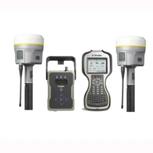
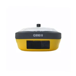
Engineered for high satellite acquisition speeds, hydrographic surveying accuracy, and rugged river navigation in the Chisinau basin and regional waterways.

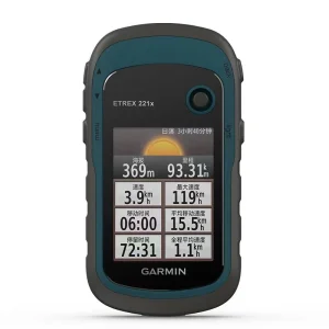
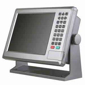
Chisinau, the capital of Moldova, is strategically integrated with Eastern Europe's complex river networks. As regional commerce grows, the demand for precision navigation along the Dniester and Prut Rivers has experienced an unprecedented surge. Although landlocked, Moldova connects to maritime routes via the critical Giurgiulești Port on the Danube River. Maintaining safety, tracking barge logistics, and performing accurate hydrographic surveying along these waterways demands marine GPS receivers optimized for signal stability in densely forested riparian zones and varying weather conditions.
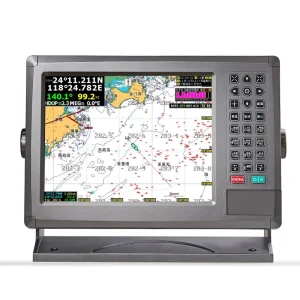
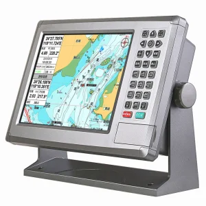
Our specialized marine GPS systems supply regional port operators, hydrographic researchers, and transport authorities in Chisinau with high-accuracy dual-frequency and AIS integrated positioning units. These tools mitigate hazards associated with shifting riverbeds, support accurate dredging profiles, and coordinate traffic control in narrow river corridors.

Modern marine navigation has transitioned beyond standard single-system GPS. Today’s global commercial fleets and hydrographic surveying enterprises rely on multi-constellation (GPS, GLONASS, Galileo, BeiDou) receivers. Integrating Automatic Identification Systems (AIS) directly into marine chartplotters has become a standard safety benchmark set by the International Maritime Organization (IMO).
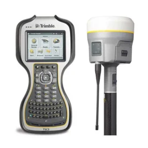
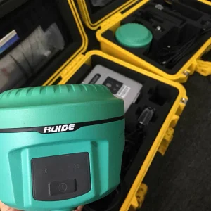
The emergence of RTK (Real-Time Kinematic) technologies in marine operations allows offshore construction, marine culture, and survey vessels to operate with millimeter-level accuracy. As industrial ocean shipping routes become more congested, the requirement for robust satellite tracking systems with high gain antennas (such as active 28dB antennas) is paramount to counter signal attenuation caused by multipath reflection off sea surfaces.

As a leading supplier in the Chisinau market, our China-based manufacturing facility represents the pinnacle of industrial scaling, advanced electronics engineering, and meticulous Quality Assurance (QA). By concentrating supply chains for high-frequency components, specialized marine-grade plastics, and high-gain internal antennas, we offer state-of-the-art navigation devices at a fraction of the cost of legacy Western brands, without compromising on performance.
Every unit undergoes rigorous environmental stress screening (ESS), including temperature cycling (-40°C to +85°C), vibration tests simulating harsh vessel operations, and IP67/IP68 water ingress validation. This ensures that whether our GPS receivers are deployed in the damp river valleys of Moldova or the saline environments of the Baltic, they provide uninterrupted navigation data.
Tested against saltwater corrosion, solar radiation, and structural impact.
"The mission of our group is to establish global leadership as the foremost provider of marine-grade navigation systems. By integrating advanced US satellite tracking design, German manufacturing accuracy, and highly efficient Chinese production platforms, we deliver high-reliability RTK systems and AIS receivers. We bridge the gap between cost and cutting-edge technology, ensuring safety, reliability, and precision on every vessel, from Dniester patrol boats to mega-container carriers."
Understanding the strict guidelines global procurement directors use to source marine GPS devices, ensuring technical integrity and reliable commercial partnerships.
Our marine GPS units strictly comply with NMEA 0183 and NMEA 2000 output protocols. This allows flawless plug-and-play deployment with existing radars, transducers, depth sounders, and auto-pilot controllers from major global brands.
For operations in the Dniester River and coastal Black Sea, devices must survive continuous sun exposure and moisture. Our housings utilize UV-stabilized polycarbonate, coupled with high-grade silicone sealing gaskets for maximum environmental resilience.
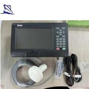
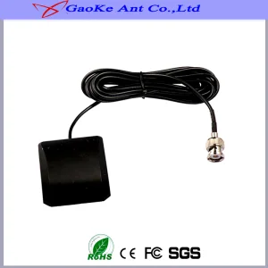
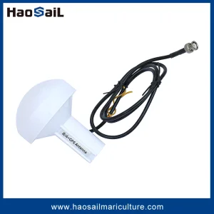
Standard GPS antennas degrade around dense shorelines and high bridge clearances. Our 28dB high-gain active antennas maintain stable locks even on complex, tree-canopied waterways like those flanking Chisinau.
Explore our full catalog of high-performance GNSS receivers, marine chartplotters, and tracking systems designed for global maritime operators.
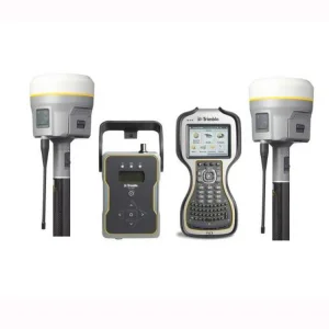
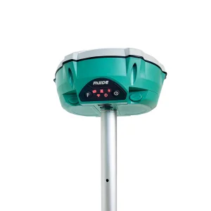

Expert insights on integrating satellite receivers, choosing appropriate frequencies, and optimizing river operations in the Chisinau region and Eastern Europe.
Discuss your port logistics, dredging, or inland vessel tracking requirements with our experienced applications engineers. We provide fully customized OEM/ODM builds and bulk pricing options.
Send Inquiry Now Green Boat