1 / 5
| Category | Details |
|---|---|
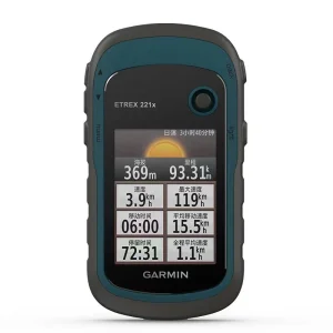
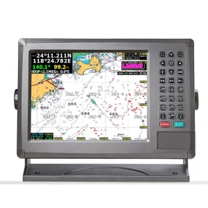
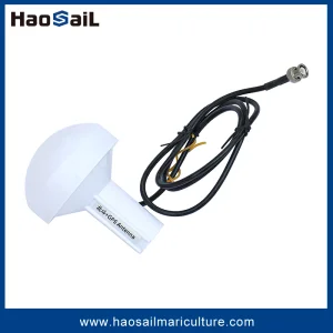
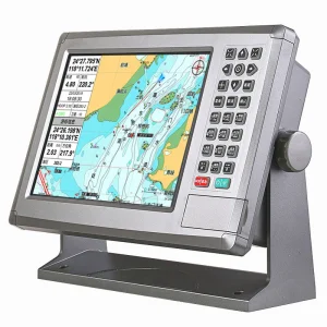
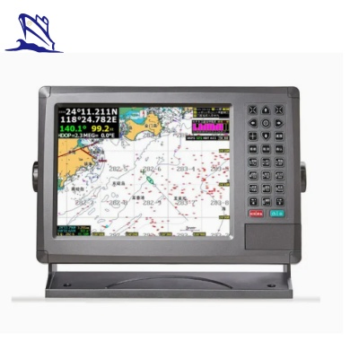
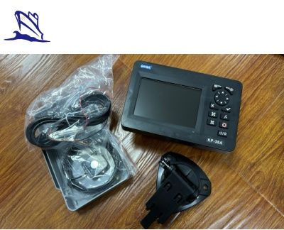
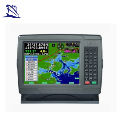
| Performance Parameters | 5-inch color TFT display (800×480); 50-channel GNSS receiver, positioning accuracy up to 3m (95%), speed accuracy 0.1m/s; supports NMEA 0183, RS232 with baud rate 38400; operating voltage 10.5-30V DC. |
| Functional Features | 12,000 waypoints, 30 routes (170 waypoints per route) with track navigation; 1,000 drawing markers, 2,000 drawing lines; multiple alarms (XTE, anchor drag, etc.); built-in global tide and astronomical data. |
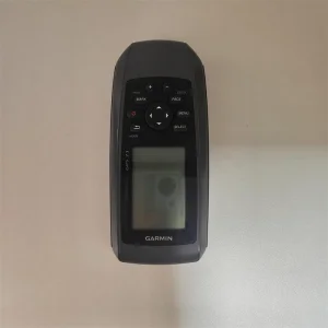
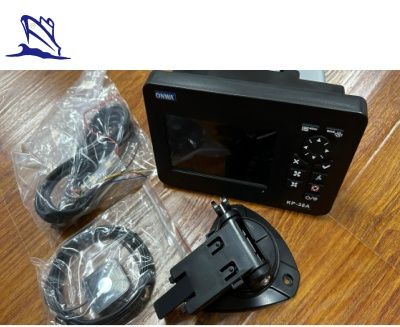
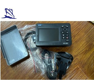
| Design | Dimensions approx. 169×198.1×137mm, weight 0.56kg; IPX5 waterproof rating (resistant to water jets from all directions). |
| Application Scenarios | Suitable for leisure navigation (sailing boats, yachts), commercial fishing (locating fishing grounds, planning routes), and maritime rescue. |